Spatial emission mapping
Reported spatial emission data are input for models used to assess atmospheric concentrations and deposition, as the spatial location of emissions determines to a great extent their atmospheric dispersion patterns and impact area. The results of the assessments by these models provide an information base for national and international policies to improve the environment and human health. The area within which, coordinated by the international centers of EMEP, monitoring is carried out is defined as the geographical scope of EMEP. Here you can find the Parties within EMEP domain.
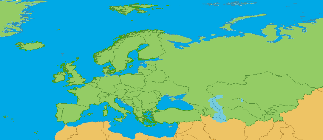
At the 36th session of the EMEP Steering Body the EMEP Centers suggested to increase spatial resolution of reported emissions from 50x 50 km EMEP grid to 0.1° × 0.1° long-lat in a geographic coordinate system (WGS84) to improve the quality of monitoring. The EMEP domain now covers the geographic area between 30°N-82°N latitude and 30°W-90°E longitude. This represents a balance between political needs, scientific needs and technical feasibility.
How to grid national emissions
Please refer to chapter A.7 of the latest EMEP/EEA air pollutant emission inventory guidebook, which addresses spatial mapping of emissions and provides guidance on compiling spatial emission datasets. It focuses on methods suitable for generating and reporting spatial data that are consistent with nationally reported inventories under the Air Convention (CLRTAP). Country specific data defining the grid cells and fraction of grid cells can be downloaded here.
Reporting of gridded emissions
From 2017 onwards the reporting of gridded emissions in the resolution 0.1°x0.1° long-lat and GNFR14 is required every four years (ECE/Ab.AIR/122/Add.1, decisions 2013/3 and 2013/4). Countries are invited to submit gridded data in this resolution on voluntary basis at any time.